Municipalities of Guainía
Complete list of the 8 municipalities of Guainía in alphabetical order, by population, climate and founding date. All the information of each municipality.
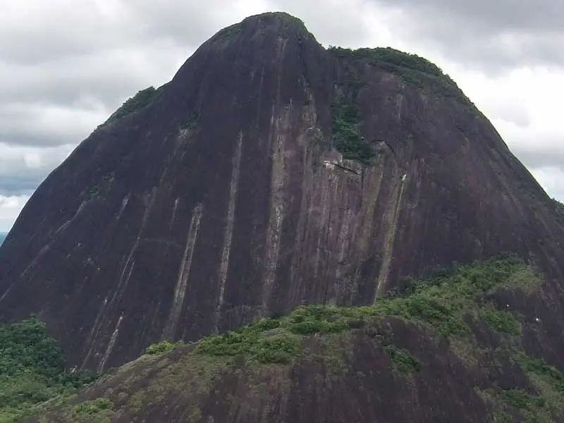
The department of Guainía belongs to the Amazon region of Colombia and is located in the eastern extreme of the country, on the triple border with Venezuela and Brazil. With 72,238 km² in area and barely 50,000 inhabitants, Guainía is one of the least populated and most biodiverse departments in the world. Its capital, Inírida, is famous for the flowers that bear its name —the iníridas or chigüichiris— that grow on the tepuis of the Inírida River, declared a World Heritage site as part of the Estrella Fluvial del Inírida wetland system. The department was created in 1991 from the former commissary of Guainía, and several of its municipalities are actually former departmental corregimientos that received municipal status. More than 90% of the population is indigenous, belonging to peoples such as the Curripaco, Puinave, Piapoco, Sikuani and Desano, who have coexisted with the Amazon ecosystem for millennia.
LIST OF MUNICIPALITIES OF GUAINÍA IN ALPHABETICAL ORDER
Below is the list of the 8 municipalities of Guainía in alphabetical order:
- Barranco Minas
- Cacahual
- Inírida
- La Guadalupe
- Mapiripana
- Pana Pana
- Puerto Colombia
- San Felipe
Below is the 8 municipalities of Guainía in a list that includes the area to which it belongs:
| Municipality Name | Area |
| Inírida | Center (departmental capital) |
| Barranco Minas | North (Guainía River) |
| Mapiripana | North |
| San Felipe | North (border with Venezuela) |
| Puerto Colombia | North (Atabapo River) |
| La Guadalupe | East |
| Cacahual | Central-South |
| Pana Pana | South |
MUNICIPALITIES OF GUAINÍA BY POPULATION
| Name | Inhabitants |
| Inírida | 22000 |
| Barranco Minas | 6500 |
| Mapiripana | 4800 |
| San Felipe | 4200 |
| Puerto Colombia | 3500 |
| Cacahual | 3000 |
| La Guadalupe | 2800 |
| Pana Pana | 2400 |
MUNICIPALITIES OF GUAINÍA BY CLIMATE
| Municipality Name | Average Temperature |
| Barranco Minas | 28º c |
| Puerto Colombia | 28º c |
| San Felipe | 27º c |
| Inírida | 27º c |
| Mapiripana | 27º c |
| Cacahual | 26º c |
| La Guadalupe | 26º c |
| Pana Pana | 26º c |
DATE OF FOUNDATION OF MUNICIPALITIES OF GUAINÍA
The settlements of Guainía have roots in the religious missions of the 18th century and in the ancestral indigenous presence that predated any Spanish foundation by several centuries. Inírida was founded in 1963 as a small hamlet around a religious mission and military base, becoming the department capital with the 1991 Constitution. The other municipalities are mostly corregimientos elevated to municipalities in the 1990s and 2000s, as part of the administrative decentralization process of the Colombian State. Complete list:
| Municipality Name | Date of Foundation |
| Inírida | 1963 |
| Barranco Minas | 1965 |
| San Felipe | 1972 |
| Puerto Colombia | 1975 |
| Mapiripana | 1992 |
| Cacahual | 1992 |
| La Guadalupe | 1992 |
| Pana Pana | 1992 |
MUNICIPALITIES OF THE DEPARTMENT OF GUAINÍA
The 8 municipalities of Guainía are scattered across a territory of Amazon rainforest and savannas with tepuis, connected exclusively by waterways and air routes. Inírida, the capital, is the only city in the department with a medium-sized airport and connects to Bogotá and Villavicencio on regular flights. The rest of the municipalities are only accessible by small plane or river trips of several days. The Estrella Fluvial del Inírida, where the Inírida, Atabapo, Guainía and Orinoco rivers converge, is considered one of the most important wetlands on the planet and was declared a UNESCO World Heritage site in 2018. The local economy relies on artisanal fishing, indigenous handicrafts, nature tourism and subsistence trade, with significant dependence on transfers from the central government for the operation of public services.